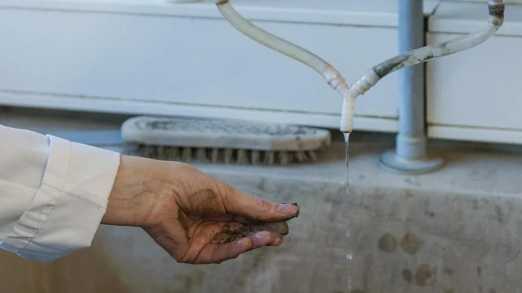
Years of dealing with the Fraser River delta have taught us that groundwater in Richmond BC doesn't follow textbook behavior. The city sits on deep, compressible silts and organic clays deposited across a floodplain barely a meter above sea level. When you're planning a deep excavation or a parking structure within 15 km of the Strait of Georgia, standard lab permeabilities rarely capture the true horizontal drainage you'll encounter. That is precisely why we rely on in-situ field permeability testing—both the Lefranc method for granular layers and the Lugeon test for fractured or bedrock interfaces. A single misinterpretation of hydraulic conductivity here can turn a three-month project into a year-long dewatering headache. Before finalizing any excavation support design, pairing these results with a slope stability analysis often reveals how pore-water pressures will actually behave at depth.
In Richmond's tidal delta, a Lugeon value without a corresponding tidal correction is just a number—not an engineering parameter you can stake a dewatering plan on.
Methodology applied in Richmond BC
From our experience, the biggest variable in Richmond isn't the equipment—it's the tidal influence of the Fraser's South Arm, which can mask or exaggerate static water levels if not carefully monitored throughout each test.
Critical ground factors in Richmond BC
The most persistent mistake we see in Richmond BC is contractors assuming that a single global permeability value from a disturbed Shelby tube sample is sufficient for a construction dewatering design. The delta doesn't work that way—a thin sand seam you didn't test can deliver more inflow than the entire 3-meter silt layer you spent weeks characterizing. When a deep excavation reaches that untested lens, the resulting inflow destabilizes the subgrade, causes surface settlements in adjacent structures, and often triggers a WorksafeBC stop-order. We've been called in more than once to perform emergency packer testing after such failures, and the cost of the reactive investigation always exceeds the proactive testing program by a factor of four or five. Beyond the financial sting, there's a real safety concern when unexpected pore pressures reduce effective stress around a shoring system. Our approach integrates the field permeability test results directly into a groundwater control plan that accounts for seasonal high water levels and the river's tidal signal, which in Richmond can fluctuate the local water table by more than a meter every six hours.
Our services
Our field permeability testing program in Richmond BC is structured around the specific depositional environment of the Fraser Delta, covering everything from shallow Lefranc tests in alluvial sands to deeper Lugeon assessments in Pleistocene till or fractured bedrock.
Lefranc Variable-Head Testing
Ideal for characterizing the hydraulic conductivity of the sand and silt layers common across Richmond's river delta. We isolate 1.5 to 3-meter intervals and monitor the water level recovery with sub-second resolution, applying shape factors that account for the slotted casing geometry and the proximity of any impermeable boundaries.
Lugeon Multi-Stage Packer Testing
Applied in deeper boreholes encountering stiff till or bedrock beneath the softer Fraser River sediments. The five-pressure-stage sequence allows us to differentiate between laminar flow through tight joints, turbulent flow, and hydraulic fracturing—critical information when designing cutoff walls or grouting programs.
Construction Dewatering Characterization
A combined testing and analysis service where we execute multiple Lefranc tests at staggered depths, interpret the data in the context of tidal influence from the Fraser River, and provide you with the in-situ k-values needed to size well points, deep wells, or eductor systems with confidence.
Frequently asked questions
What is the typical cost of a field permeability test in Richmond BC?
For Lefranc and Lugeon testing in the Richmond area, you can generally expect a range between CA$850 and CA$1,600 per test interval. The final figure depends on the depth of the test, the number of intervals, and the mobilization logistics on the delta—particularly if access mats are required for the drill rig on soft ground.
How does the Lugeon test differ from the Lefranc method?
The Lefranc test measures hydraulic conductivity in soil or very soft rock by observing the rate of water level change under a falling or constant head, without applying high pressure. The Lugeon test, by contrast, injects water under controlled pressure into a packed-off section of borehole in rock, and the resulting flow rate per meter of test interval at each pressure stage is expressed in Lugeon units. In practice, we use Lefranc for the silts and sands of Richmond's upper 30 meters, and reserve Lugeon for deeper, more competent formations.
How long does a field permeability testing program take?
A typical program involving three to five Lefranc or Lugeon test intervals at a Richmond site can be completed within one to two days of field work, assuming the borehole has already been advanced. The time on site will extend if we need to set up tidal monitoring equipment to correct the static water level readings, which is often necessary when working within a kilometer of the Fraser River's South Arm.
Can these tests be performed in the same borehole as SPT sampling?
Yes, and that is our standard practice. We advance the borehole with SPT sampling to define the stratigraphy, and then install a temporary casing or pneumatic packer to isolate specific layers for permeability testing. The combination gives you both the soil classification and the in-situ hydraulic conductivity from the same location, which is far more representative than correlating SPT blow counts from one hole with lab permeability from another.